All About the Maps from Gardner MA which got the Award
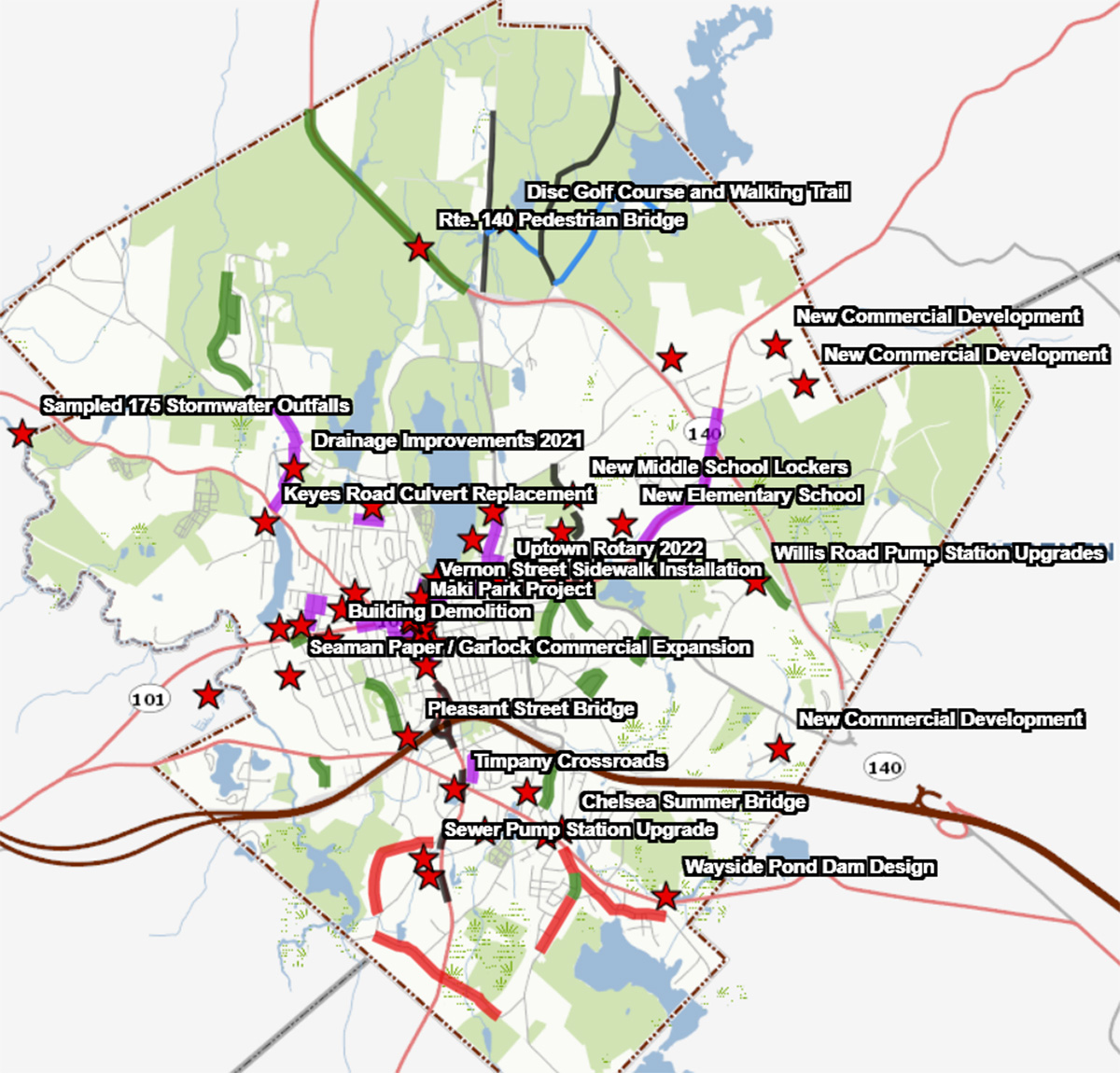
Central to Gardner MA winning the Massachusetts Municipal Association Pickard Innovation Award is the Map of City Projects. We’re showing a static screenshot at left, but the actual map is interactive where you can zoom in or out. CLICK HERE. Gardner was one of only 3 communities in the State of MA to win the award in 2022. For more info from MMA, CLICK HERE.
CLICK on any of the small images in this article for a large view.
Public Property Viewer
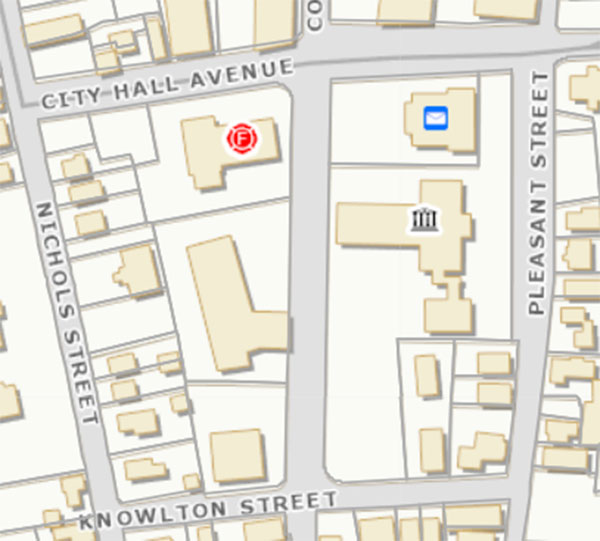
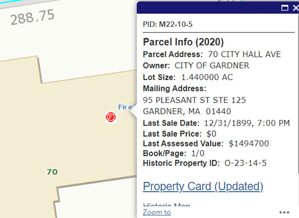
Other Gardner maps include the Public Property Viewer. For example, we show the City Hall Avenue area at left and then a zoom in view at right. You can look at the property card for any property in the Chair City. CLICK HERE
Map of Parks, Open Space, and Trails
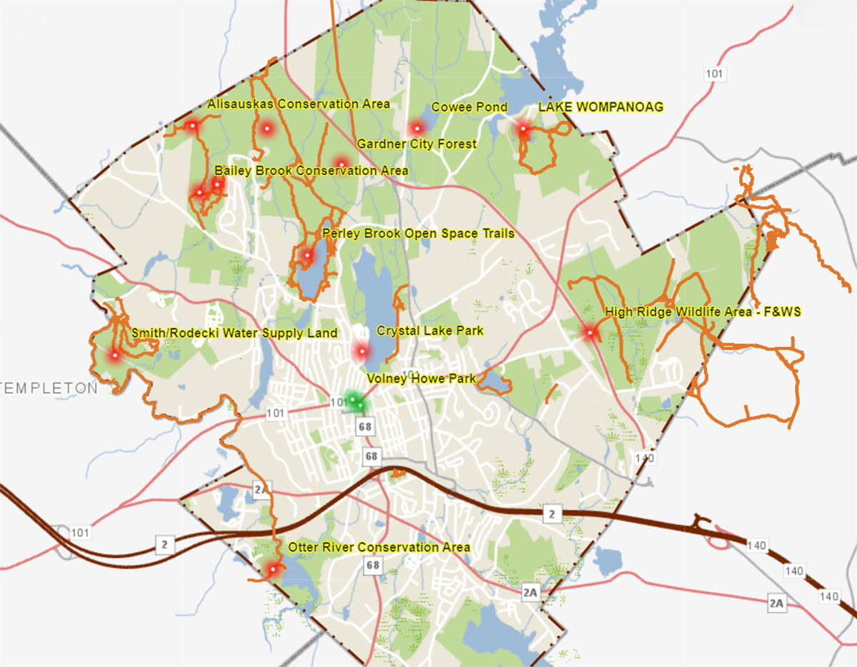
The Map of Gardner Parks, Open Space and Trails is very useful, with detail about each area. CLICK HERE
Playgrounds and Recreation
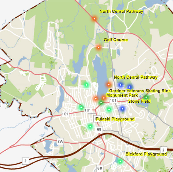
The Playgrounds & Recreation Map is an overview of the City of Gardner’s Playground and Recreation sites, with details about each area: CLICK HERE
Zoning Map
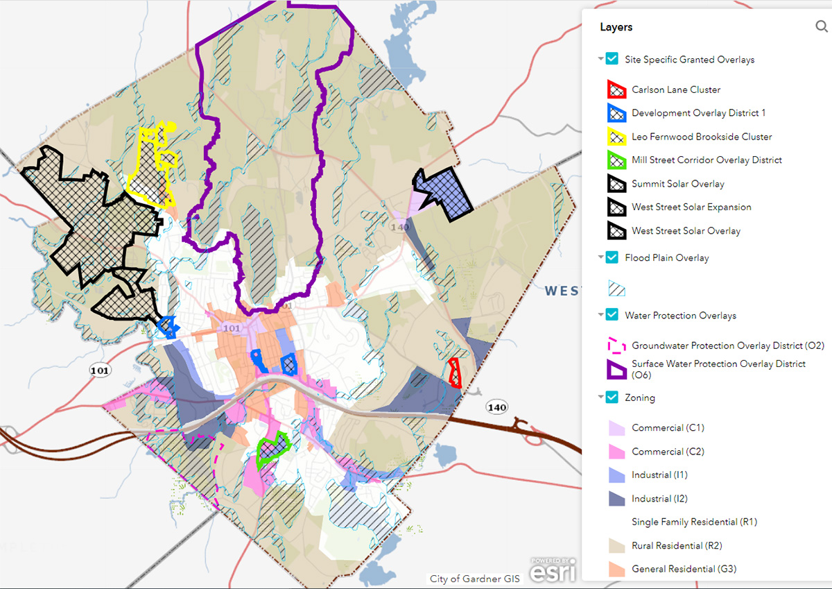
The Gardner MA Zoning Map comes with a disclaimer that it “is for general information purposes. In the event of any discrepancy, the vote of the City Council establishing or amending boundaries and the text of the City Code governs.” The map is highly detailed and allows you to zoom in on whatever area you desire. CLICK HERE
PROPERTY CARDS
City of Gardner Property Cards can be viewed at: CLICK HERE. The City of Gardner Fiscal Year 2022 tax rate is explained at: CLICK HERE. The City of Gardner Assessor’s office advises “To get the most up to date and complete property card, please contact the City Assessor at (978) 630-4004 or at ckumar@gardner-ma.gov”

